
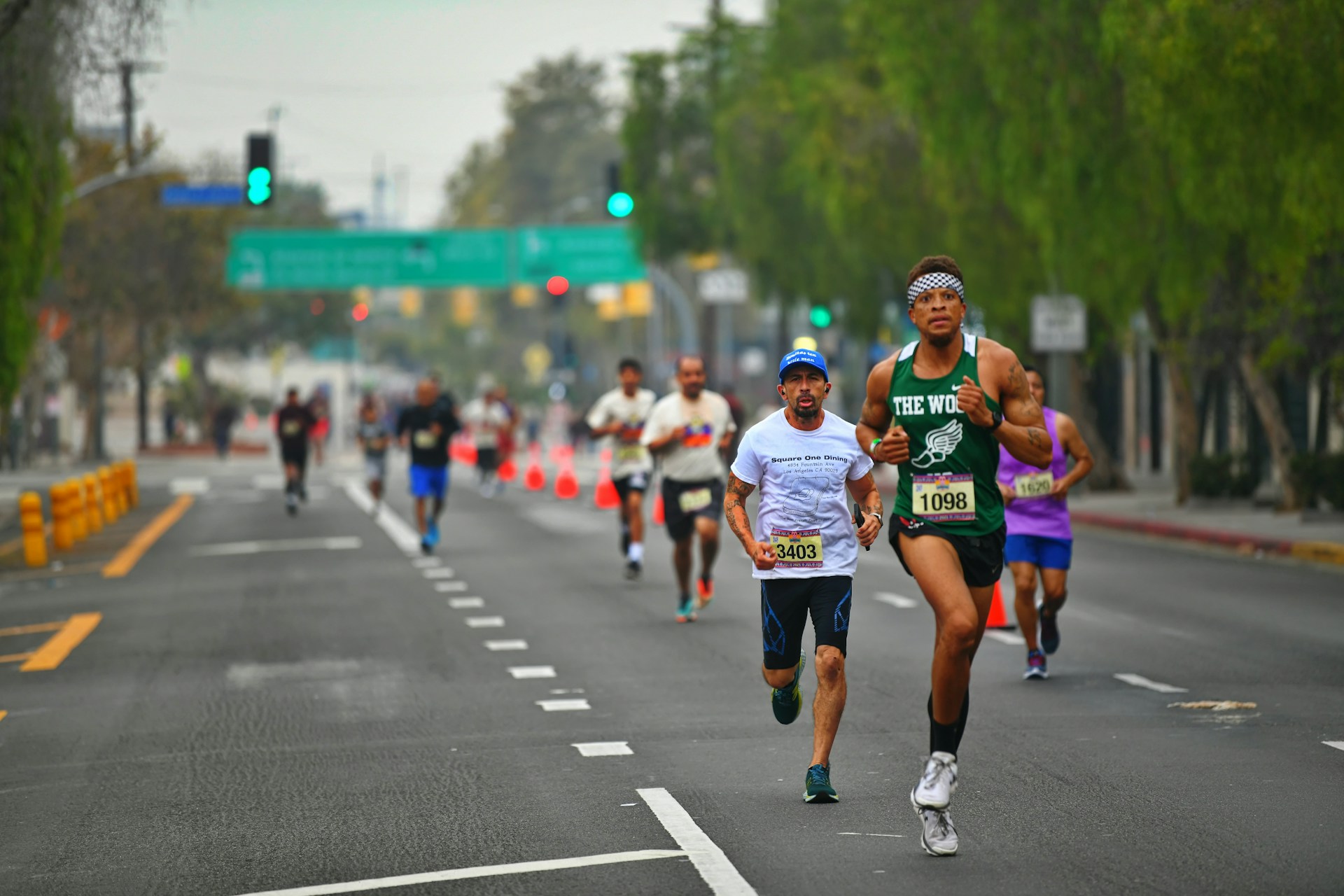
Three friends running the same marathon rarely run it together. One is aiming for under four hours, one just wants to finish, and one will start fast and regret it. Their families are spread along the course with signs, and each family wants to see every runner, not only their own. By mile 10, a dozen people are asking each other the same question: where is everyone?
Put the whole group on one live map, runners and families together, and you can answer it by looking.
Setting up the map
The night before, one of the group creates a Radar in OnTime for race day. Everyone joins: the runners, the partners, the parents, the friends who came to cheer.
Then add the places that matter as stops: each family's cheering spot along the course, and the place you'll all meet after the finish. Be exact about the cheering spots, side of the road included, such as "Mile 17, left side, outside the pharmacy." Every runner can check the stops before they go to sleep and know where to look the next day.
What the families see
The official race app shows a runner's progress at timing mats, which at big races are at the start, every 5K, halfway and the finish. In between, it estimates. When a runner slows down at mile 18, the estimate keeps them moving at their old pace.
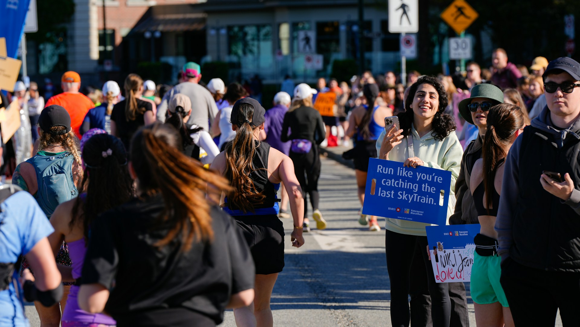
On the shared map, each runner who carries a phone is a dot moving along the course in real time, with a trail behind it. A family standing at mile 17 can see all three friends at once: the fast one already through mile 15, the steady one around mile 12, the third one a little further back and moving slower than an hour ago. They can cheer the first one through, then watch the next dot come towards them and get the sign up at the right moment, rather than holding it up for half an hour.
Families can see each other too. The parents at mile 17 know the partner at mile 21 is in place.
What the runners see
Runners aren't going to study a map at mile 20, and they shouldn't. A glance is enough. OnTime's Live Activity shows the distance to the next stop on the Lock Screen.
The runners can also see each other. Some people like knowing their friend is just a few hundred metres up the road. Others would rather not know. Either way, it's there if you want it.
The map is worth a proper look once the race is over. Everyone leaves a trail behind their dot, so after crossing the line, a runner can open the map and see the whole route they just ran drawn across the city: the start, the bridges, the long stretch where the course doubles back, the final turn towards the finish. Their friends' trails are there too, and the group can compare them over a drink.
After the finish
Friends who run different paces finish at different times, sometimes an hour apart. The first one across the line can check the map and see exactly how far the others still have to go instead of guessing. The families can see it too, and leave their cheering spots when the last runner passes, knowing roughly when everyone will reach the meeting point.
When the first person gets to the meeting point, they tap "I'm here", and everyone else sees it on the map. The others walk straight there, following the dots of the people already waiting.
Two things to plan for. Phone networks near the start and finish of a big race are often overloaded, so dots can update slowly there, including on OnTime. And a phone that has been playing music and taking photos for four or five hours may be close to empty by the finish, so charge everything the night before. The Radar ends at the time you set, and sharing stops for everyone when it does.