
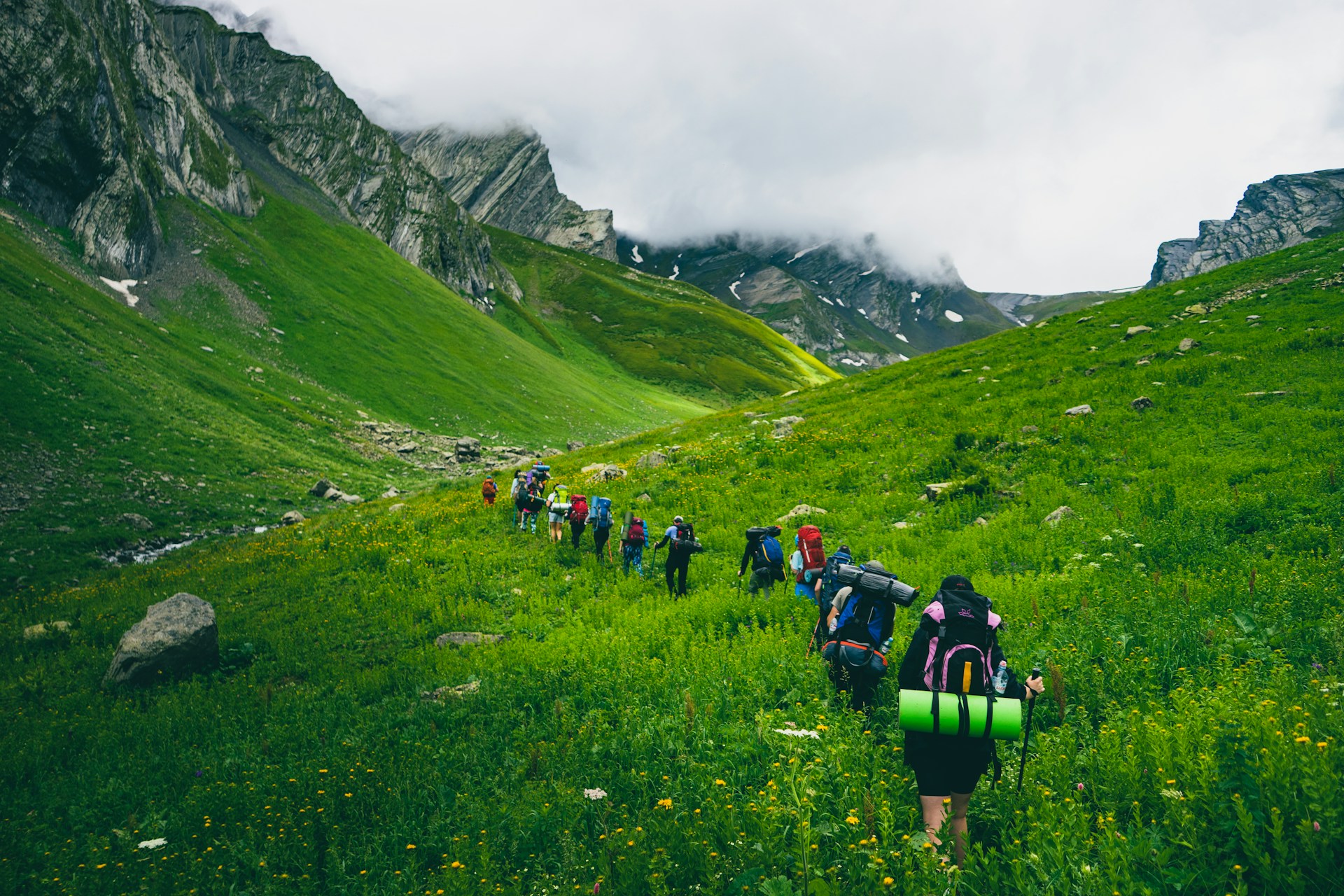
Hiking clubs that run group walks every weekend tend to agree on one rule: the group stops at every trail junction until the last person arrives. The Mountaineers, the Seattle-based outdoor club, puts it in its hike leader checklist: at the very least, gather people at junctions, water crossings, or every 15 to 30 minutes in between. Most groups of friends never do this. The fast ones go ahead, the trail forks, and somebody takes the wrong branch without knowing there was a choice.
Who walks where
Clubs give two people fixed jobs. One walks at the front and sets a pace the whole group can keep up. The other, the sweep, walks at the very back and never lets anyone fall behind them. Everyone else can spread out between the two, but nobody passes the leader and nobody drops behind the sweep.
For a group of friends this sounds formal, but it fixes the most common problem on a group hike. Without a sweep, the slowest person ends up at the back alone, and when they stop to retie a boot or take a photo, nobody notices for twenty minutes. The sweep should be someone fit and patient who knows the route. Swap the job at lunch if the hike is long. Always walking at the back wears people down.
Some leaders put the slowest hiker at the front so the group moves at their speed. That works well when the gap in fitness is big. It also stops the slowest person spending the whole day chasing the group and never getting a break, which happens when the fast ones rest at each junction and set off again the moment the last person arrives.
A shared map on the trail
OnTime works on a trail the same way it does in a city. One person creates a Radar before the hike and adds the places that matter as stops: the trailhead parking, the main junction, the summit or viewpoint, and the place you're eating afterwards. Friends with an iPhone join with the 6-letter code. Friends on Android can share from a browser link, but the app keeps sharing in the background, which matters when the phone spends all day in a pocket.
On the map you can see how far apart the group really is. That's harder to judge than it sounds on a winding trail, where the person three switchbacks behind you might be 50 metres away or 500. When the leader reaches the junction, they can check whether the sweep is two minutes back or twenty, and decide whether to wait there or at the next stop.
The trail behind each dot is the part we'd point out to a hiking group. If someone's trail suddenly heads away from the route, they've probably taken the wrong fork, and you can call them back while they're still a few minutes off it. If a dot hasn't moved for a while, it might be a long snack break or it might be a twisted ankle. Call them before anyone walks back to look.
When people reach the summit, they tap "I'm here", so the people still climbing know who made it and how many are still on the way up. Everyone also sees their own distance to the next stop. On a hard climb, knowing the top is 400 metres away helps more than being told "nearly there."
Where the signal ends
Your phone's GPS works with no mobile signal at all. But sending that location to anyone else needs data. In a valley or behind a ridge with no signal, your own phone still shows you where you are, and any map you downloaded beforehand still works. Your friends, though, only see where you were the last time your phone had data, until you get signal again.
Plan around that:
- Download the map before you leave. Apple Maps lets you save offline maps in iOS 17 and later, and Google Maps and most hiking apps do the same.
- Agree on the regroup points before you lose signal, and put them on the Radar while you still have data.
- Tell someone who isn't hiking where you're going and when you expect to be back.
Recent iPhones can do more without signal. On iPhone 14 and later, in supported countries, Emergency SOS via satellite can contact emergency services when you have no mobile or Wi-Fi coverage, and the Find My app can send your location to your contacts by satellite. Check what your phone supports and how it works before you need it. It needs open sky overhead, and it takes practice to point the phone the right way.
Location sharing helps a group find each other. It isn't a safety device. Batteries die in the cold, phones break when you fall, and a map won't carry anyone down a mountain. For anything remote, take a proper map and compass, someone who knows how to use them, and a personal locator beacon or satellite messenger if you're going where nobody would find you quickly.